Spectacular Drone Footage Shows Massive Eruption Of Kilauea Volcano In Hawaiian Islands
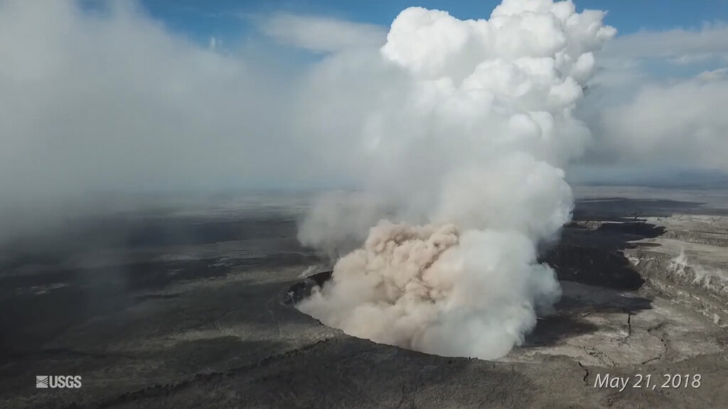
This is the spectacular footage shared by the United States Geological Survey from drones that were used for the first time in action after the massive explosion of the Kilauea Volcano in the Hawaiian Islands.
The amazing images were shared by the USGS volcanoes pointing out that it was the first time the federal government had used drones to assist in monitoring an eruption in the United States.
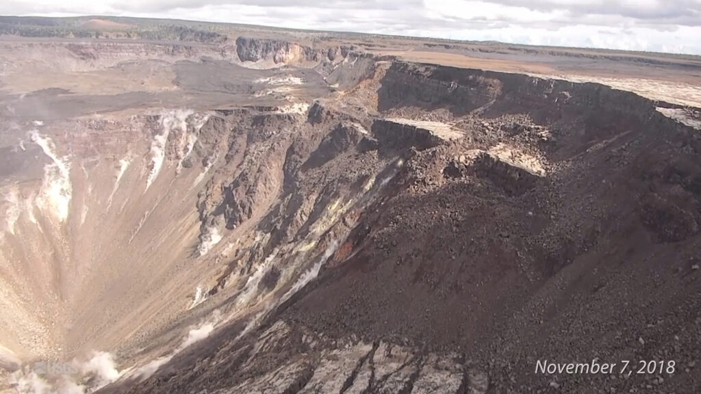
The compilation video was put together from footage that was shot on May 21, 27th and June 8 and 13th, as well as further flights on November 7, and 8 – all in 2018 when the eruption happened.

In a statement, they said: “The UAS were used to survey areas otherwise inaccessible or too hazardous for field crews or manned aircraft, collect multiple types of data, and provide 24/7 real-time situational awareness at Kilauea Volcano’s summit and lower East Rift Zone.”
The twin eruptions from two different areas sent a huge mass of lava flowing over the island of Hawaii from May through to August destroying over 700 homes and dumping huge amounts of ash over much of the rest of the area.
Scientists have already noticed an increasing pressure in the magma and as it flowed out into the surrounding area, it caused part of the summit to collapse sending up huge plumes of ash into the air in an ongoing process that continued through May June and into July, reshaping the landscape of Kilauea. It also included over 60,000 earthquakes.

Although the eruptions eventually ended, it remains one of the most active volcanoes in the world.
USGS experts monitored the changes and as the study continues have now released this drone footage compilation to illustrate the scale of what happened over those months.


